Spatial Signatures
|
|
|
@darribas]
|
@martinfleis]
|
|
|
|
|
How we arrange “stuff” in cities matters…
|
|
Source: A map of every building in America (New York Times)
… it matters a lot
|
|
|

|

|

|
Urban Form
What do we talk about…
|
|
|
|
|
How can we describe it…
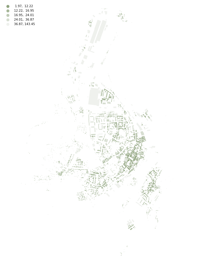
Urban morphometrics
Measuring
|
|
|
|
|
|
|
|
Why?
Data
Tools
|
|
|
|
|
momepy
Few examples
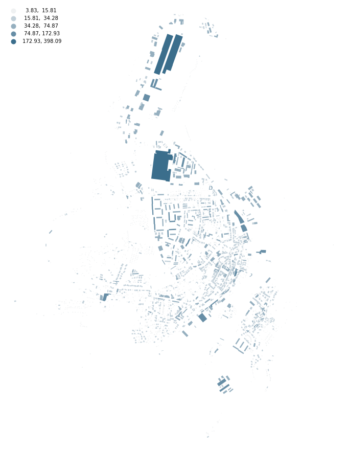 longest axis length longest axis lengthdimension |
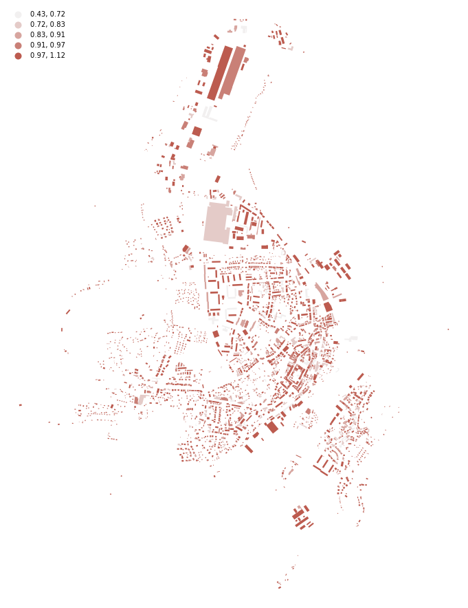 equivalent rectangular index equivalent rectangular indexshape |
 distance to neighbours distance to neighboursspatial distribution |
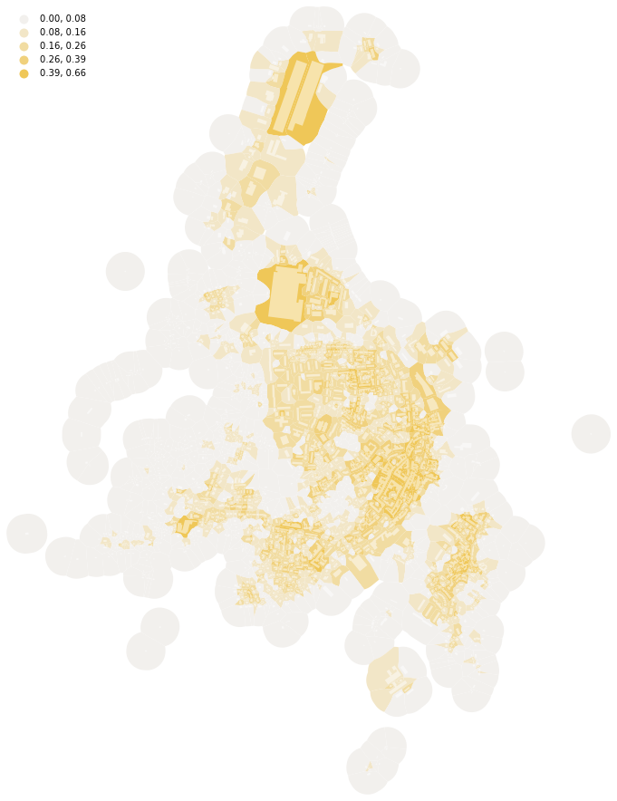 covered area ratio covered area ratiointensity |
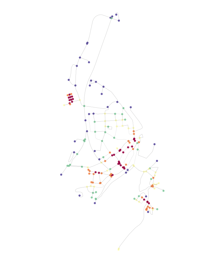 closeness centrality closeness centralityconnectivity |
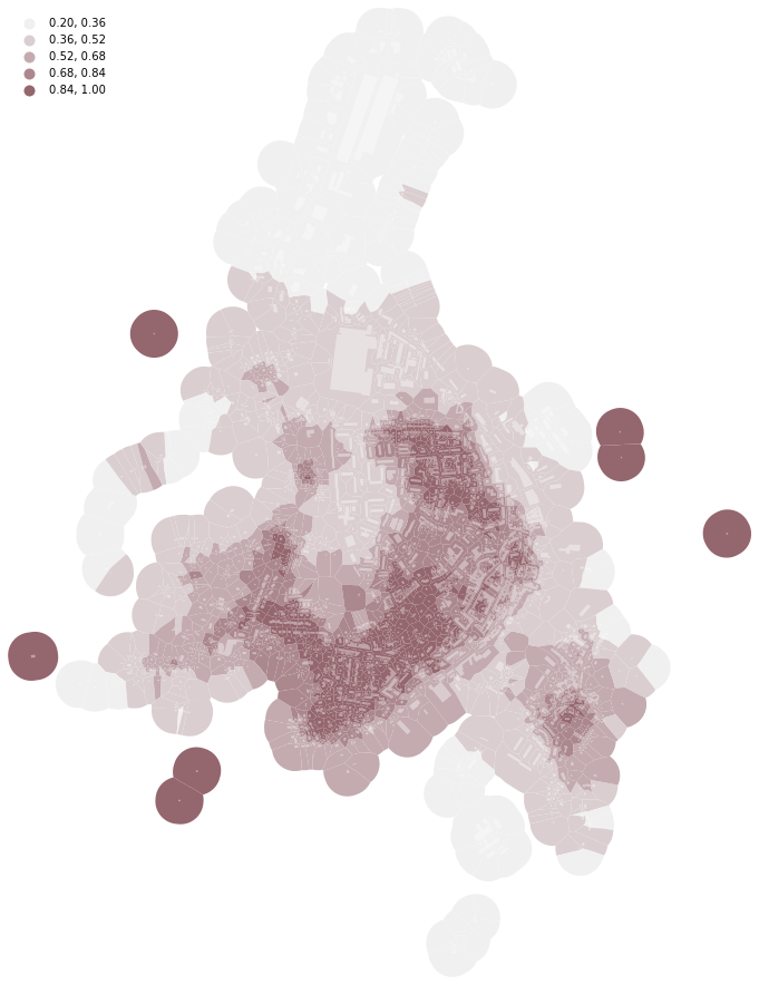 Simpson’s diversity of tessellation area Simpson’s diversity of tessellation areadiversity |
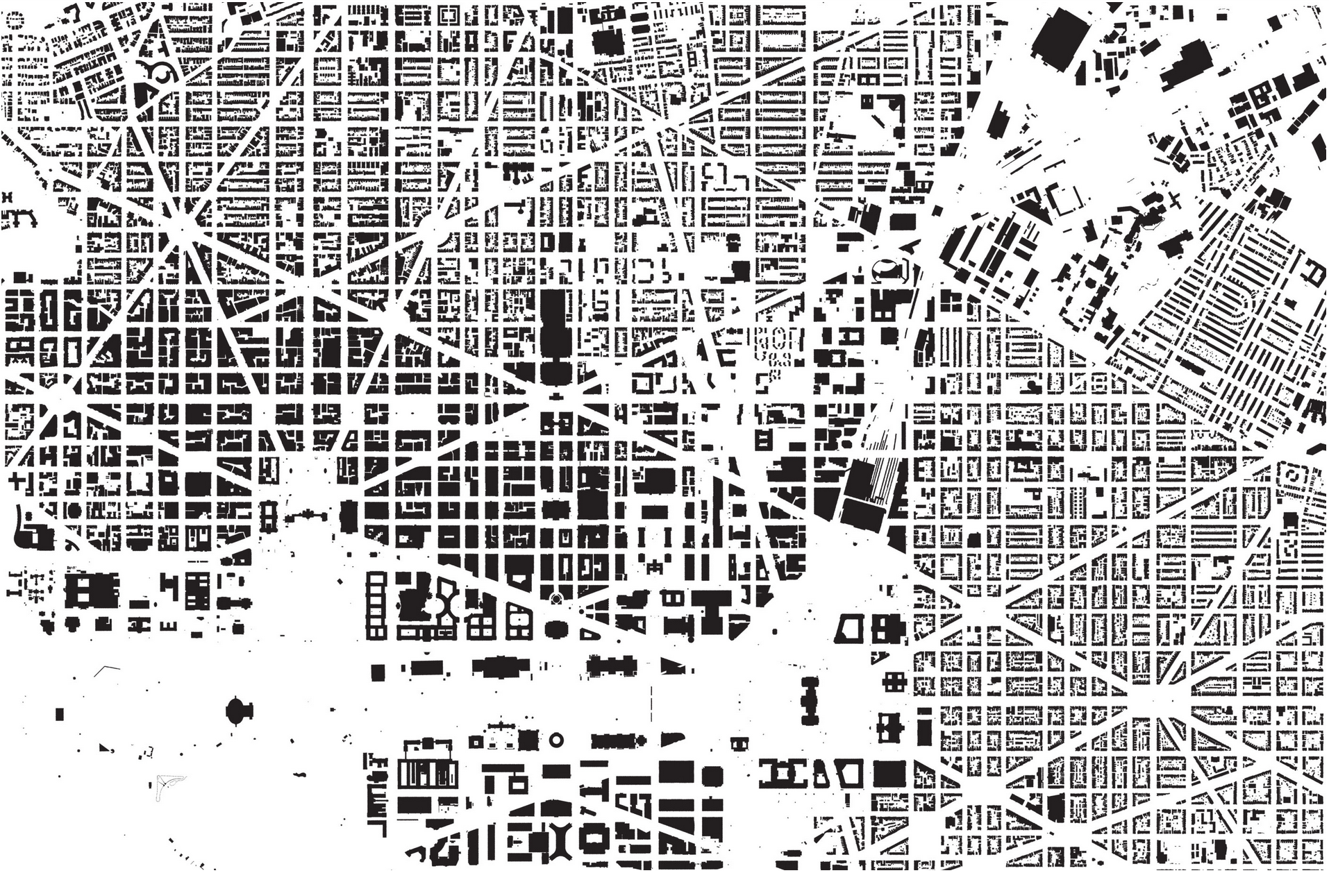
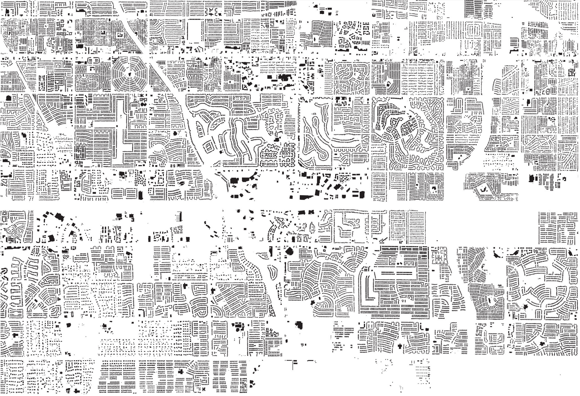
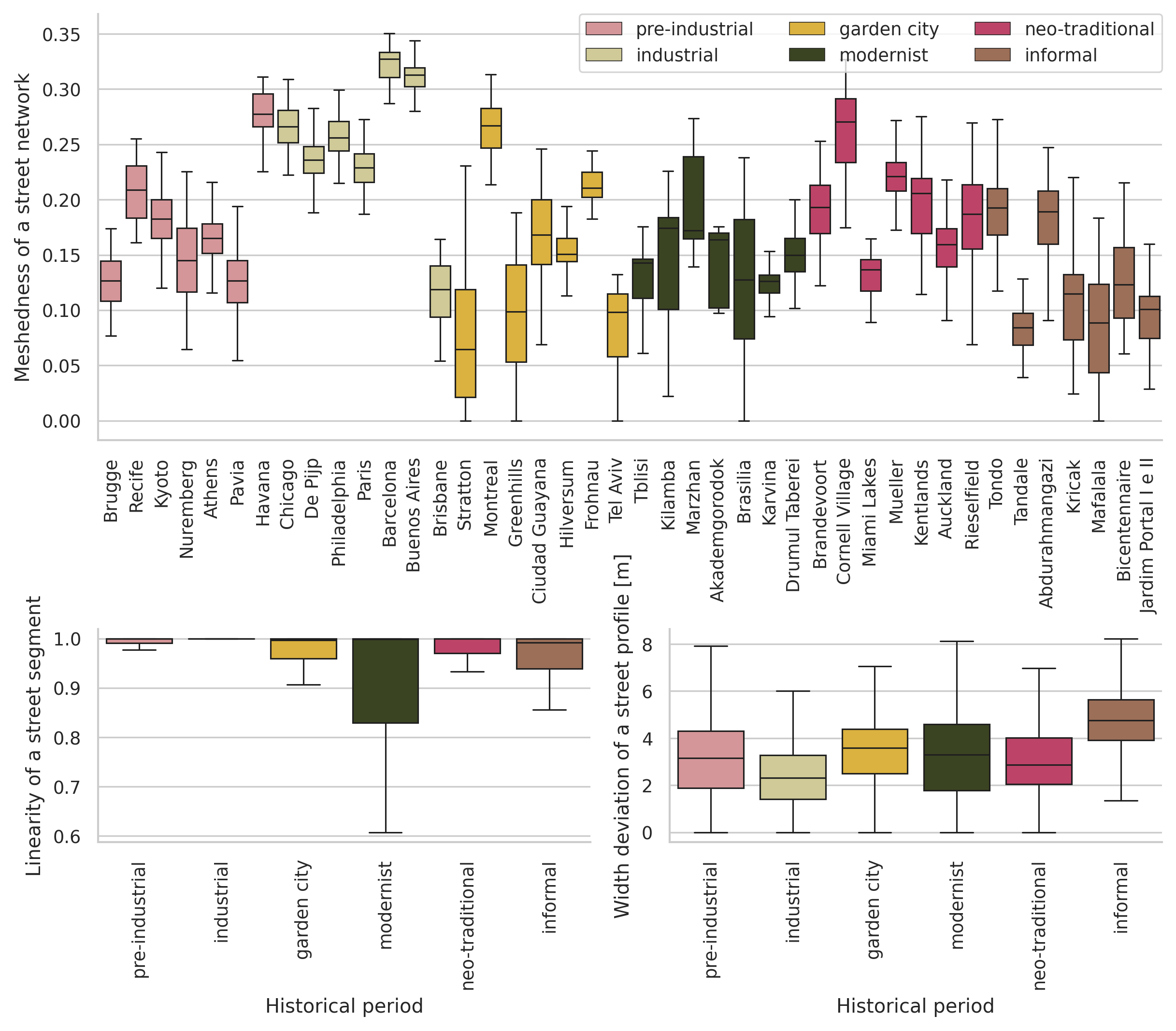
Evolution of urban patterns
42 places, 6 historical periods

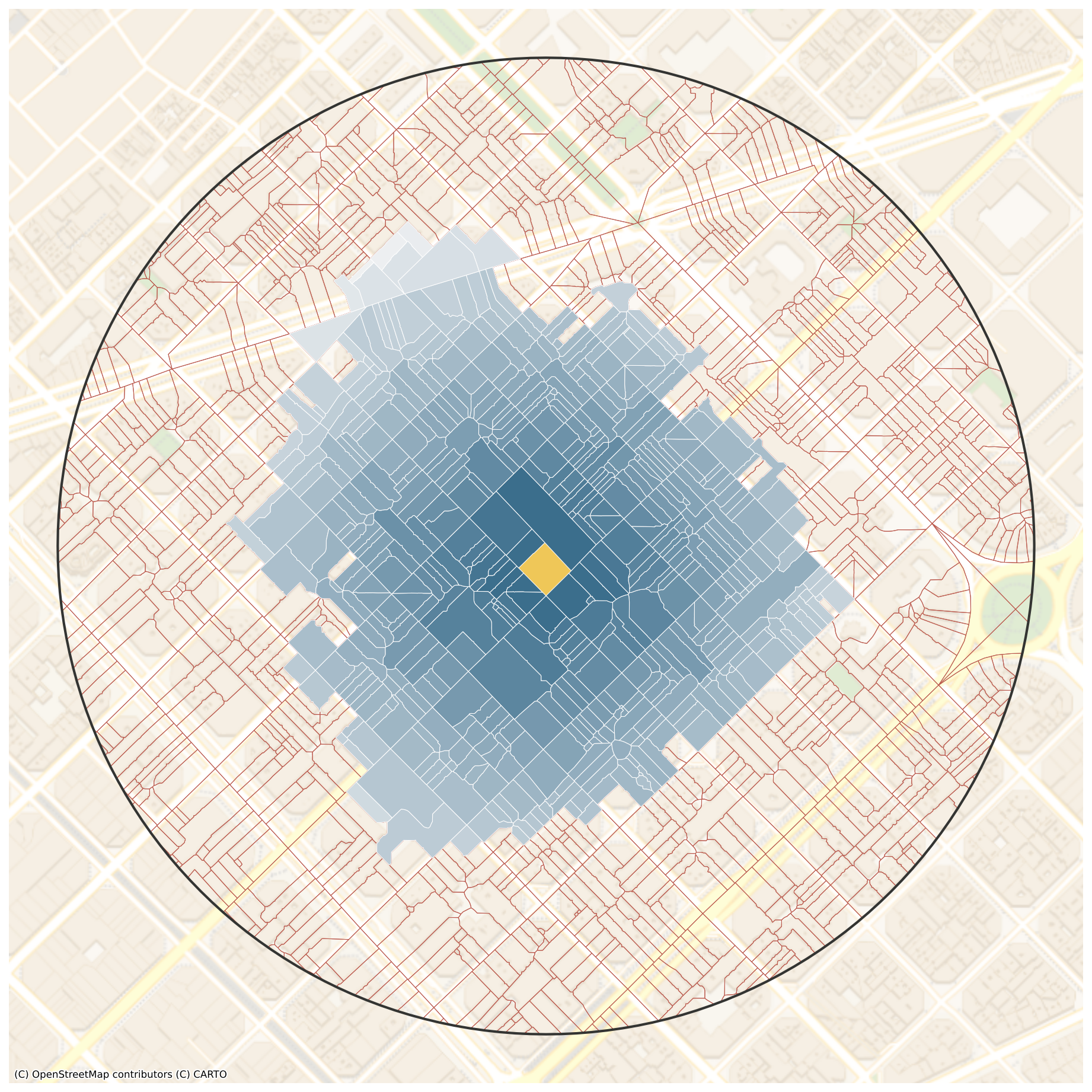
400 m buffer
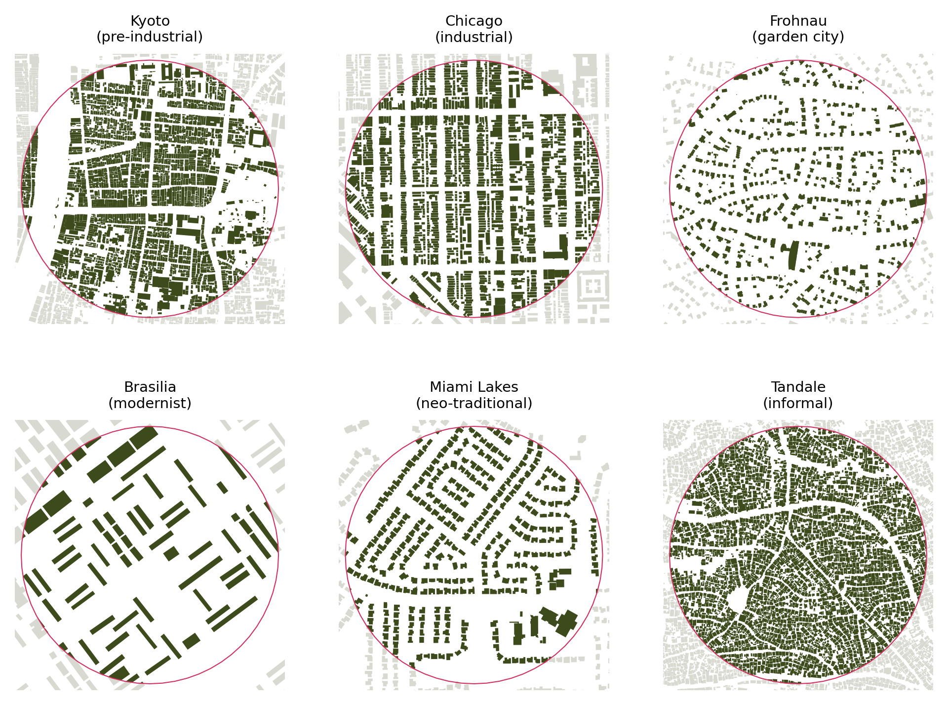
Scale peaked in modernism
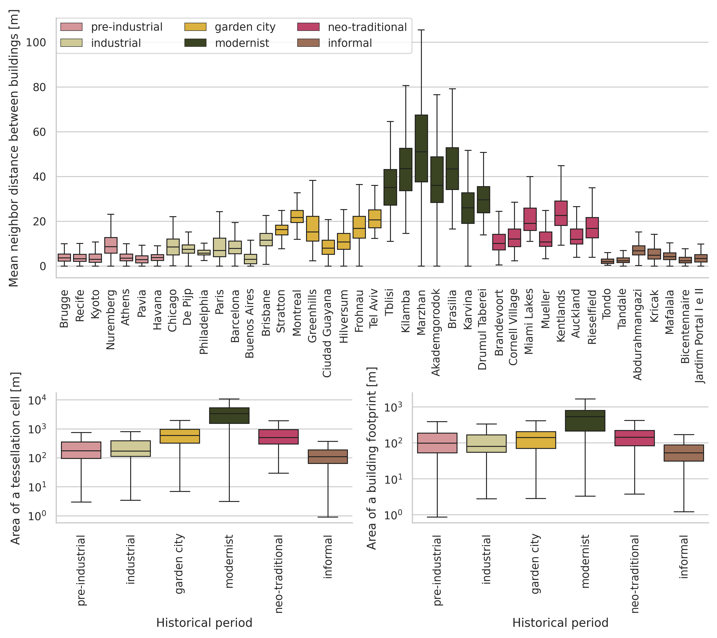
We forgot how to make a grid
Classification
Spatial Signatures
Form
Qualitative, quant. case studies, morphometrics, remotely sensed
Function
Geography, Economics, Sociology, Environmental Sciences, Tansport studies…
Form & Function
- Richer picture
- Topography, history, technology, cultural values…
- More robust representations
Opportunities
We don’t have good ways of measuring form & function in cities
Opportunities

Opportunities
Fragmented understanding
Physical classification - ??? - Geodemographics
|
|
|
|

|
|
|
|
|
|
|

|
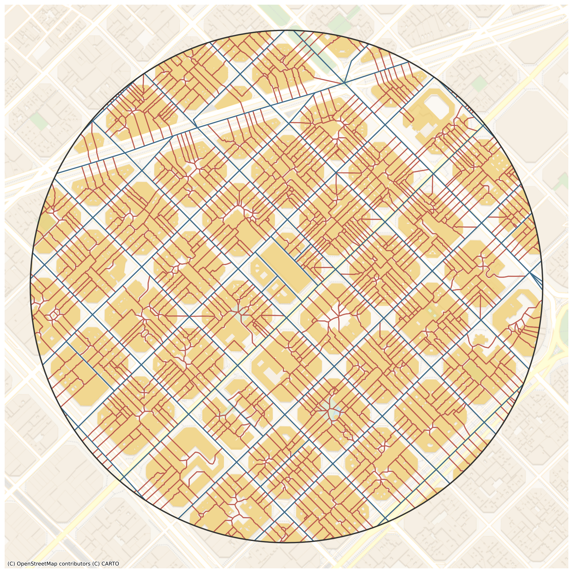
Characters
|
|
Context
|
|
|
|
|
|
|

|
Benefits
- Data-driven & (multidiscipline) theory-informed
- Granular & scalable
- Flexible deployment
Illustration
The Setup
Five different cities
- Historical environments
- Geography & culture
- Data landscapes
The Cities

The Data
|
|
The Signatures
|
|
|
|
|
|
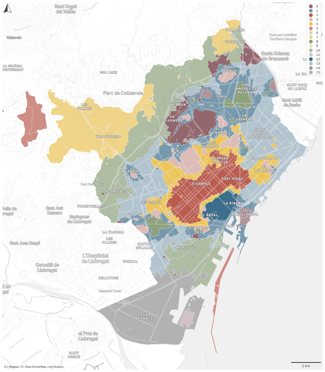
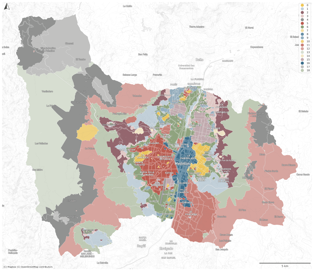
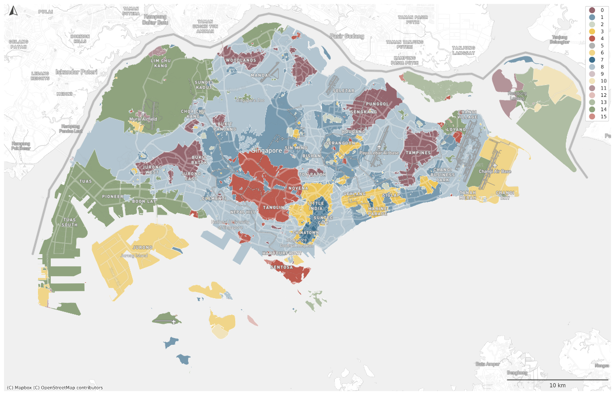
Barcelona
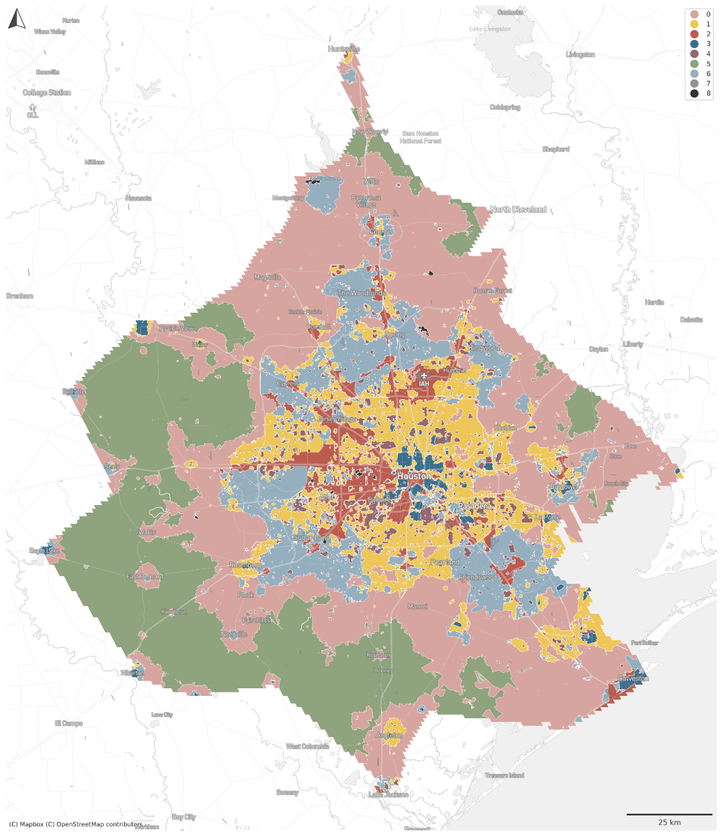
Houston | Medellin
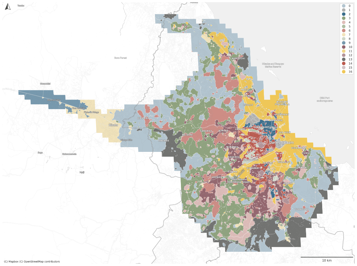
Singapore | Dar es Salaam
Spatial Signatures
|
|
|
@darribas]
|
@martinfleis]
|
|
|
|
|